
GPS on Meta Glasses
MetaLensAI GPS gives the AI agent location context during a conversation. Ask for the nearest cafe, pharmacy, station, landmark, or another place you care about, and the assistant can find a nearby match and estimate how long it may take to get there.
ETA is approximate and can change based on travel mode, traffic, public transport availability, and the freshness of your phone location.
What MetaLensAI GPS does
When GPS is enabled, MetaLensAI can use your phone's current coordinates to answer location-aware questions through your smart glasses.
The AI agent can understand where you are, search for the nearest place that matches your request, and return distance or approximate travel time to that destination.
Example: ask for the nearest coffee shop, petrol station, pharmacy, train station, restaurant, or any other point of interest.

ETA depends on travel mode
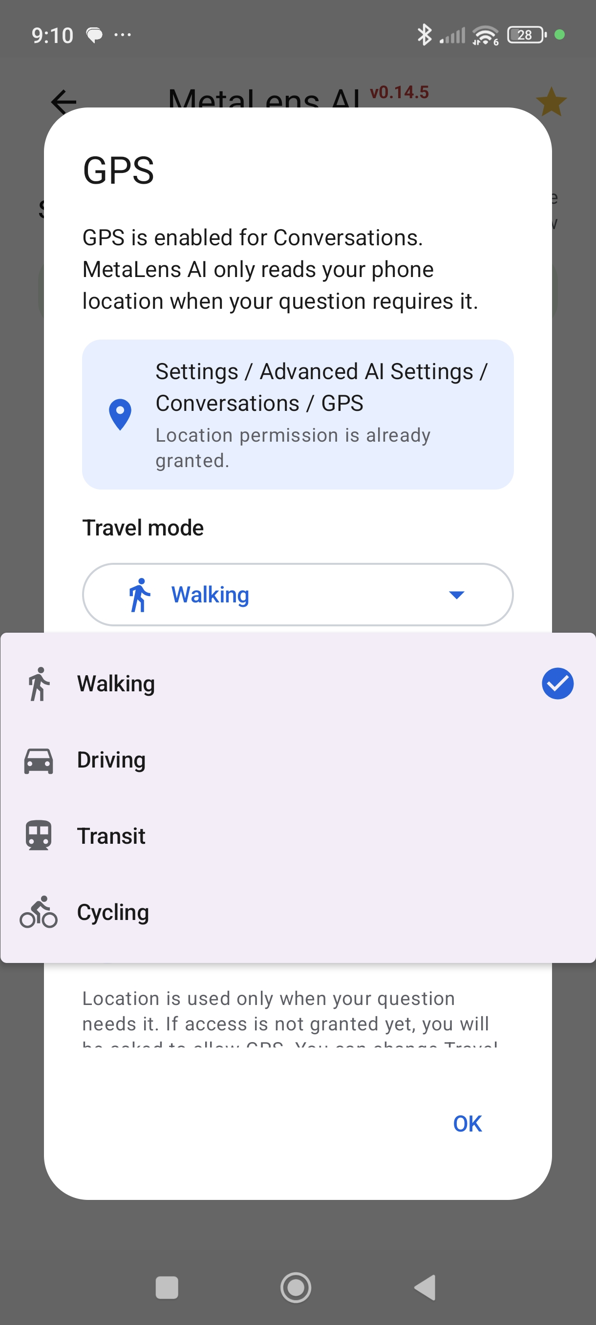
- Walking for nearby places you can reach on foot.
- Driving for car routes and road travel estimates.
- Transit for public transport where route data is available.
- Cycling for bike-friendly travel estimates.
You choose the travel mode, and MetaLensAI uses it to estimate the ETA for the selected destination.
GPS features supported by MetaLensAI
- Ask where you are and get a spoken location answer.
- Ask for nearby places such as stores, restaurants, stations, pharmacies, or landmarks.
- Find the nearest place that matches your current interest.
- Ask for distance to a destination.
- Ask for estimated travel time using walking, driving, transit, or cycling mode.
GPS access modes
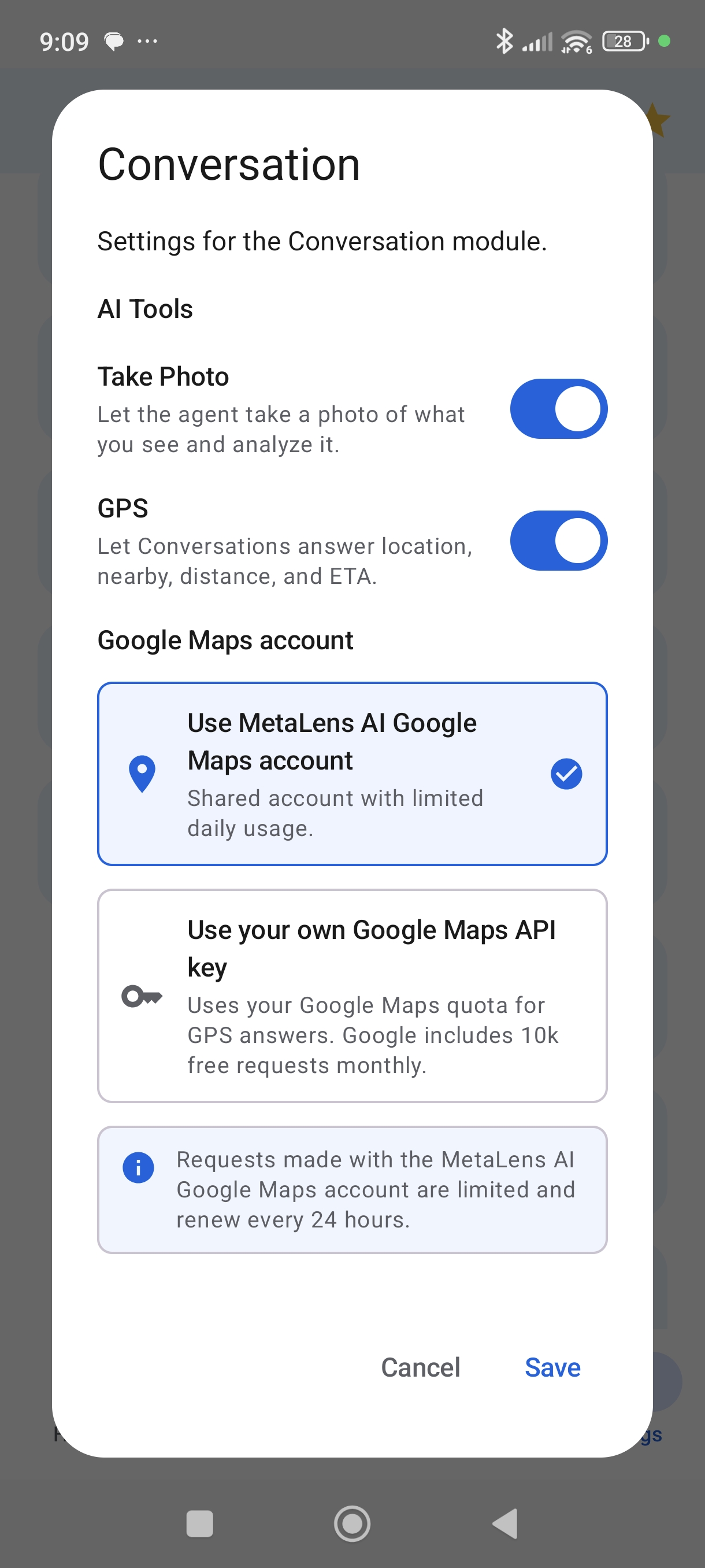
- MetaLensAI account - use the shared MetaLensAI Google Maps account for up to 10 GPS requests per day. This limit resets automatically every 24 hours.
- Your own Google Maps API key - use your own Google Cloud project when you need higher usage or direct control over quota and billing. In this mode, GPS requests use your Google account quota instead of the shared MetaLensAI limit.
APIs to enable when using your own key
If you configure your own key, use a Google Cloud project with billing enabled and restrict the key to the Google Maps Platform APIs used by MetaLensAI GPS:
- Geocoding API - used to identify your current address from coordinates and to convert destination names or addresses into coordinates.
- Places API - used for Nearby Search to find the nearest place matching your request, such as a cafe, pharmacy, station, restaurant, or landmark.
- Routes API - used by Compute Routes to calculate route distance and approximate ETA for walking, driving, transit, or cycling.
API restriction recommendation: allow only Geocoding API, Places API, and Routes API for this key. The current MetaLensAI backend does not require Maps JavaScript API, Maps SDK for Android, Directions API, Distance Matrix API, or Geolocation API.
Your Google Maps API key is stored on your phone and is passed only when needed to request Google API services for GPS answers.